Where is Cass County, North Dakota?
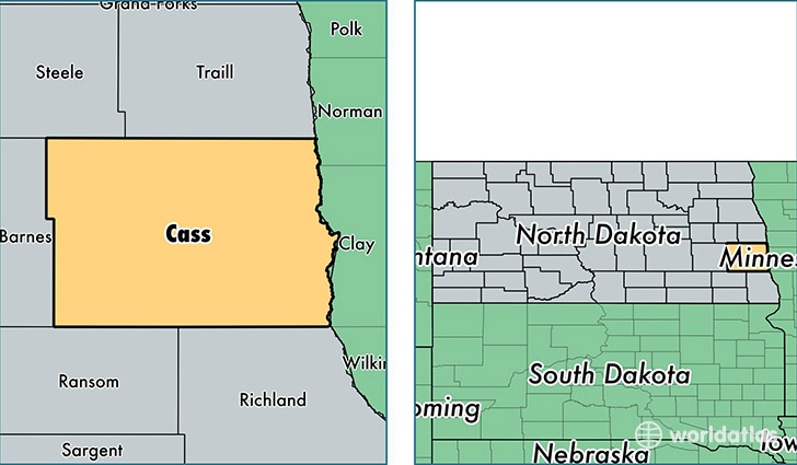
Cass County is a county equivalent area found in North Dakota, USA. The county government of Cass is found in the county seat of Fargo.
With a total 4,578.84 sq. km of land and water area, Cass County, North Dakota is the 380th largest county equivalent area in the United States. Home to 167,005 people, Cass County has a total 72484 households earning 52590 on average per year.
Cass County, North Dakota - Quick Facts
| FIPS Code | 38017 |
| Area Codes | 701 |
| Time Zone | CST |
| Major Cities | Fargo (population: 112,553), West Fargo (population: 27,442), Horace (population: 3,711), Casselton (population: 2,579), Kindred (population: 1,506), Harwood (population: 1,445), Mapleton (population: 1,217), Argusville (population: 890), Leonard (population: 599), Wheatland (population: 552) |
| Land Area | 64,481 sq miles |
| Water Area | 1,765 sq miles |
| Household Income | $52,590 |
| Housing Units | 72,484 |
| Median Home Value | $158,900 |
| High School Grads | 95% of population |
| Holders of Bachelors Degrees | 37% of population |
| Retail Spending | $20,953 per capita |
| Food & Accomodation Sales | $341,193 per capita |
This page was last updated on June 30, 2016.