Where is Ravalli County, Montana?
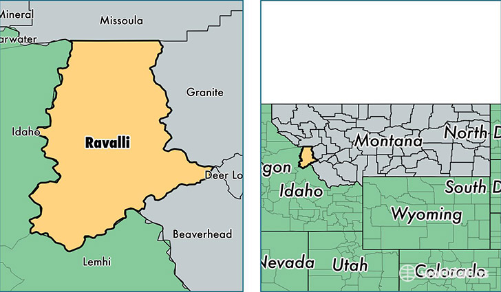
Ravalli County is a county equivalent area found in Montana, USA. The county government of Ravalli is found in the county seat of Hamilton.
With a total 6,216.48 sq. km of land and water area, Ravalli County, Montana is the 244th largest county equivalent area in the United States. Home to 41,030 people, Ravalli County has a total 19493 households earning 38688 on average per year.
Ravalli County, Montana - Quick Facts
| FIPS Code | 30081 |
| Area Codes | 406 |
| Time Zone | MST |
| Major Cities | Hamilton (population: 13,183), Stevensville (population: 9,713), Corvallis (population: 5,598), Florence (population: 5,508), Victor (population: 3,572), Darby (population: 2,705), Pinesdale (population: 926), Conner (population: 303), Sula (population: 220) |
| Land Area | 15,842 sq miles |
| Water Area | 2,391 sq miles |
| Household Income | $38,688 |
| Housing Units | 19,493 |
| Median Home Value | $233,700 |
| High School Grads | 92% of population |
| Holders of Bachelors Degrees | 25% of population |
| Retail Spending | $8,556 per capita |
| Food & Accomodation Sales | $36,471 per capita |
This page was last updated on June 30, 2016.