Where is Jefferson County, Montana?
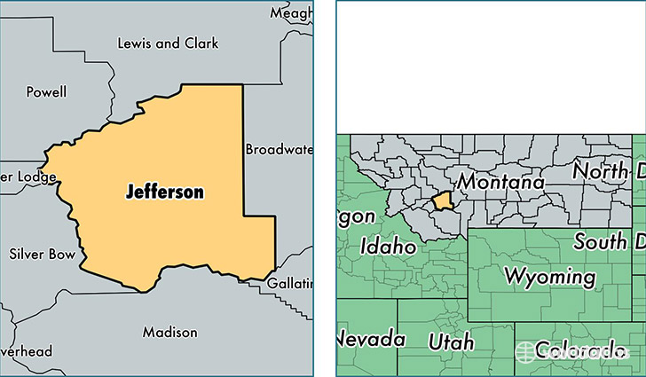
Jefferson County is a county equivalent area found in Montana, USA. The county government of Jefferson is found in the county seat of Boulder.
With a total 4,296.74 sq. km of land and water area, Jefferson County, Montana is the 405th largest county equivalent area in the United States. Home to 11,558 people, Jefferson County has a total 5029 households earning 60863 on average per year.
Jefferson County, Montana - Quick Facts
| FIPS Code | 30043 |
| Area Codes | 406 |
| Time Zone | MST |
| Major Cities | Clancy (population: 4,816), Whitehall (population: 3,643), Boulder (population: 1,938), Jefferson City (population: 616), Cardwell (population: 434), Basin (population: 236) |
| Land Area | 4,463 sq miles |
| Water Area | 1,656 sq miles |
| Household Income | $60,863 |
| Housing Units | 5,029 |
| Median Home Value | $230,100 |
| High School Grads | 94% of population |
| Holders of Bachelors Degrees | 34% of population |
| Retail Spending | $3,584 per capita |
| Food & Accomodation Sales | $7,268 per capita |
This page was last updated on June 30, 2016.