Where is Gallatin County, Montana?
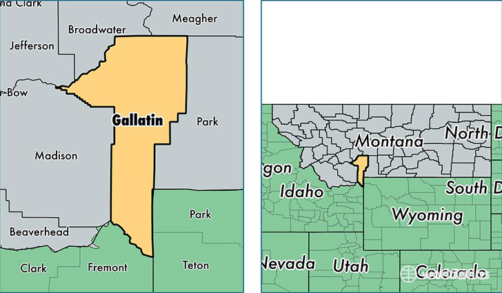
Gallatin County is a county equivalent area found in Montana, USA. The county government of Gallatin is found in the county seat of Bozeman.
With a total 6,817.04 sq. km of land and water area, Gallatin County, Montana is the 216th largest county equivalent area in the United States. Home to 97,308 people, Gallatin County has a total 43473 households earning 52833 on average per year.
Gallatin County, Montana - Quick Facts
| FIPS Code | 30031 |
| Area Codes | 406 |
| Time Zone | MST |
| Major Cities | Bozeman (population: 60,973), Belgrade (population: 18,811), Manhattan (population: 4,502), Three Forks (population: 3,544), Gallatin Gateway (population: 1,852), Big Sky (population: 1,847), West Yellowstone (population: 1,830), Willow Creek (population: 269) |
| Land Area | 37,571 sq miles |
| Water Area | 2,603 sq miles |
| Household Income | $52,833 |
| Housing Units | 43,473 |
| Median Home Value | $261,900 |
| High School Grads | 96% of population |
| Holders of Bachelors Degrees | 46% of population |
| Retail Spending | $20,524 per capita |
| Food & Accomodation Sales | $325,789 per capita |
| Universities and Colleges | Montana State University |
This page was last updated on June 30, 2016.