Where is Yazoo County, Mississippi?
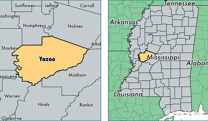
Yazoo County is a county equivalent area found in Mississippi, USA. The county government of Yazoo is found in the county seat of Yazoo City.
With a total 2,419.74 sq. km of land and water area, Yazoo County, Mississippi is the 863rd largest county equivalent area in the United States. Home to 27,817 people, Yazoo County has a total 10011 households earning 26336 on average per year.
Yazoo County, Mississippi - Quick Facts
| FIPS Code | 28163 |
| Area Codes | 662 |
| Time Zone | CST |
| Major Cities | Yazoo City (population: 21,018), Bentonia (population: 3,310), Benton (population: 2,203), Vaughan (population: 1,233), Holly Bluff (population: 134) |
| Land Area | 10,740 sq miles |
| Water Area | 923 sq miles |
| Household Income | $26,336 |
| Housing Units | 10,011 |
| Median Home Value | $64,100 |
| High School Grads | 74% of population |
| Holders of Bachelors Degrees | 12% of population |
| Retail Spending | $8,056 per capita |
| Food & Accomodation Sales | $12,405 per capita |
This page was last updated on June 30, 2016.