Where is Wilkinson County, Mississippi?
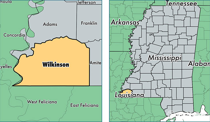
Wilkinson County is a county equivalent area found in Mississippi, USA. The county government of Wilkinson is found in the county seat of Woodville.
With a total 1,781.28 sq. km of land and water area, Wilkinson County, Mississippi is the 1472nd largest county equivalent area in the United States. Home to 9,191 people, Wilkinson County has a total 4997 households earning 33618 on average per year.
Wilkinson County, Mississippi - Quick Facts
| FIPS Code | 28157 |
| Area Codes | 601 |
| Time Zone | CST |
| Major Cities | Woodville (population: 5,772), Centreville (population: 3,588), Crosby (population: 1,052) |
| Land Area | 3,549 sq miles |
| Water Area | 678 sq miles |
| Household Income | $33,618 |
| Housing Units | 4,997 |
| Median Home Value | $59,400 |
| High School Grads | 72% of population |
| Holders of Bachelors Degrees | 12% of population |
| Retail Spending | $5,857 per capita |
| Food & Accomodation Sales | $3,435 per capita |
This page was last updated on June 30, 2016.