Where is Simpson County, Mississippi?
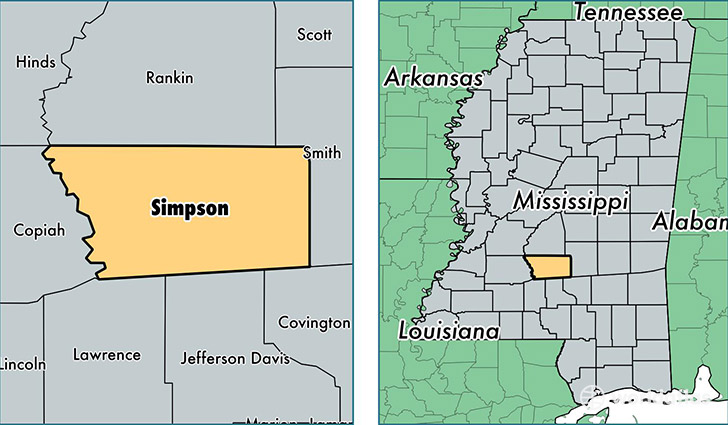
Simpson County is a county equivalent area found in Mississippi, USA. The county government of Simpson is found in the county seat of Mendenhall.
With a total 1,529.31 sq. km of land and water area, Simpson County, Mississippi is the 1779th largest county equivalent area in the United States. Home to 27,463 people, Simpson County has a total 11848 households earning 38362 on average per year.
Simpson County, Mississippi - Quick Facts
| FIPS Code | 28127 |
| Area Codes | 601 |
| Time Zone | CST |
| Major Cities | Magee (population: 10,408), Mendenhall (population: 9,972), Braxton (population: 3,890), Pinola (population: 1,641), Harrisville (population: 1,305), D Lo (population: 464) |
| Land Area | 10,604 sq miles |
| Water Area | 589 sq miles |
| Household Income | $38,362 |
| Housing Units | 11,848 |
| Median Home Value | $80,800 |
| High School Grads | 78% of population |
| Holders of Bachelors Degrees | 15% of population |
| Retail Spending | $7,640 per capita |
| Food & Accomodation Sales | $20,622 per capita |
This page was last updated on June 30, 2016.