Where is Oktibbeha County, Mississippi?
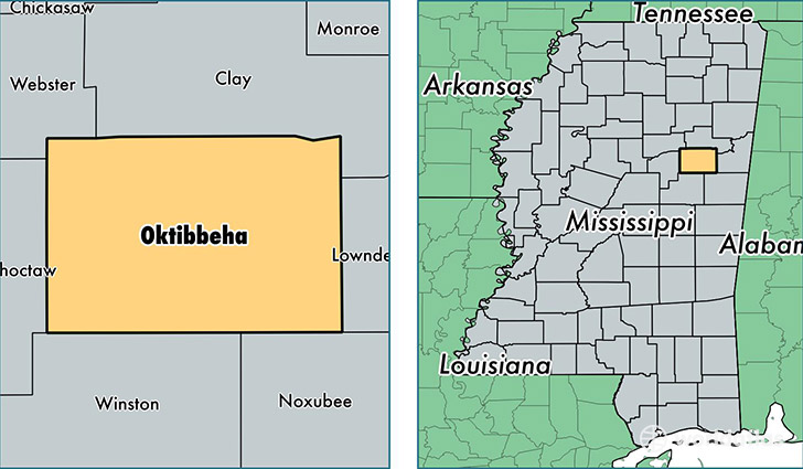
Oktibbeha County is a county equivalent area found in Mississippi, USA. The county government of Oktibbeha is found in the county seat of Starkville.
With a total 1,196.4 sq. km of land and water area, Oktibbeha County, Mississippi is the 2311th largest county equivalent area in the United States. Home to 49,414 people, Oktibbeha County has a total 21115 households earning 30987 on average per year.
Oktibbeha County, Mississippi - Quick Facts
| FIPS Code | 28105 |
| Area Codes | 662 |
| Time Zone | CST |
| Major Cities | Starkville (population: 42,589), Maben (population: 2,763), Mississippi State (population: 2,231), Sturgis (population: 1,937) |
| Land Area | 19,079 sq miles |
| Water Area | 458 sq miles |
| Household Income | $30,987 |
| Housing Units | 21,115 |
| Median Home Value | $129,200 |
| High School Grads | 86% of population |
| Holders of Bachelors Degrees | 43% of population |
| Retail Spending | $8,838 per capita |
| Food & Accomodation Sales | $77,313 per capita |
| Universities and Colleges | Mississippi State University |
This page was last updated on June 30, 2016.