Where is Noxubee County, Mississippi?
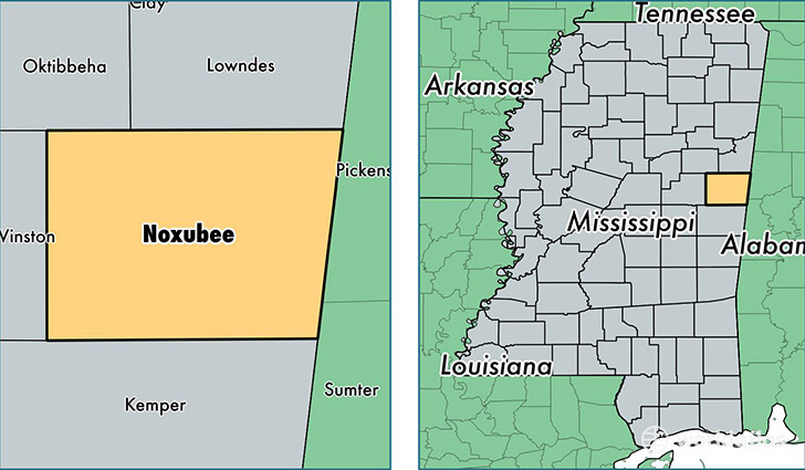
Noxubee County is a county equivalent area found in Mississippi, USA. The county government of Noxubee is found in the county seat of Macon.
With a total 1,812.94 sq. km of land and water area, Noxubee County, Mississippi is the 1439th largest county equivalent area in the United States. Home to 11,115 people, Noxubee County has a total 5137 households earning 24338 on average per year.
Noxubee County, Mississippi - Quick Facts
| FIPS Code | 28103 |
| Area Codes | 662 |
| Time Zone | CST |
| Major Cities | Macon (population: 6,955), Brooksville (population: 2,873), Shuqualak (population: 1,426) |
| Land Area | 4,292 sq miles |
| Water Area | 695 sq miles |
| Household Income | $24,338 |
| Housing Units | 5,137 |
| Median Home Value | $59,000 |
| High School Grads | 66% of population |
| Holders of Bachelors Degrees | 11% of population |
| Retail Spending | $6,993 per capita |
| Food & Accomodation Sales | $4,571 per capita |
This page was last updated on June 30, 2016.