Where is Lafayette County, Mississippi?
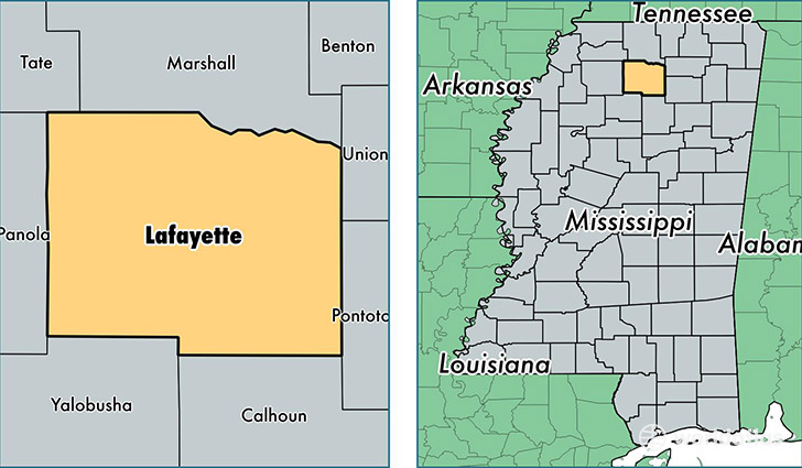
Lafayette County is a county equivalent area found in Mississippi, USA. The county government of Lafayette is found in the county seat of Oxford.
With a total 1,759.23 sq. km of land and water area, Lafayette County, Mississippi is the 1497th largest county equivalent area in the United States. Home to 52,930 people, Lafayette County has a total 23283 households earning 43328 on average per year.
Lafayette County, Mississippi - Quick Facts
| FIPS Code | 28071 |
| Area Codes | 662 |
| Time Zone | CST |
| Major Cities | Oxford (population: 38,360), University (population: 4,388), Abbeville (population: 2,478), Taylor (population: 779), Paris (population: 310), Toccopola (population: 120) |
| Land Area | 20,436 sq miles |
| Water Area | 632 sq miles |
| Household Income | $43,328 |
| Housing Units | 23,283 |
| Median Home Value | $163,000 |
| High School Grads | 86% of population |
| Holders of Bachelors Degrees | 37% of population |
| Retail Spending | $11,711 per capita |
| Food & Accomodation Sales | $96,237 per capita |
| Universities and Colleges | University of Mississippi Main Campus |
This page was last updated on June 30, 2016.