Where is Hinds County, Mississippi?
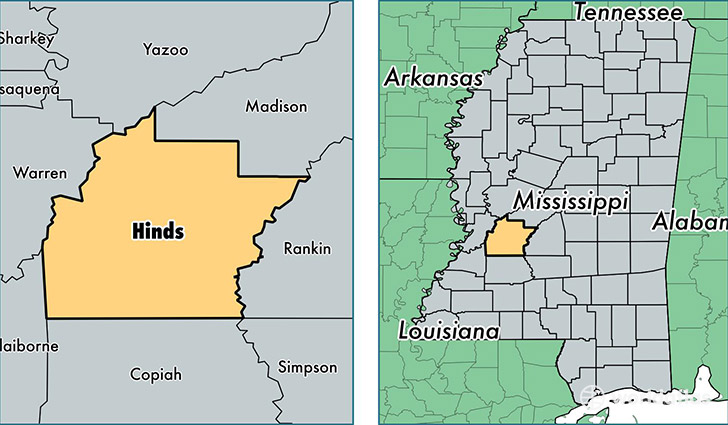
Hinds County is a county equivalent area found in Mississippi, USA. The county government of Hinds is found in the county seat of Raymond.
With a total 2,272.17 sq. km of land and water area, Hinds County, Mississippi is the 1027th largest county equivalent area in the United States. Home to 243,729 people, Hinds County has a total 103763 households earning 37626 on average per year.
Hinds County, Mississippi - Quick Facts
| FIPS Code | 28049 |
| Area Codes | 601 |
| Time Zone | CST |
| Major Cities | Jackson (population: 178,118), Clinton (population: 26,007), Byram (population: 12,722), Raymond (population: 10,670), Terry (population: 9,534), Utica (population: 4,881), Edwards (population: 4,397), Bolton (population: 3,450), Tougaloo (population: 736) |
| Land Area | 94,104 sq miles |
| Water Area | 870 sq miles |
| Household Income | $37,626 |
| Housing Units | 103,763 |
| Median Home Value | $106,400 |
| High School Grads | 85% of population |
| Holders of Bachelors Degrees | 27% of population |
| Retail Spending | $12,021 per capita |
| Food & Accomodation Sales | $403,797 per capita |
This page was last updated on June 30, 2016.