Where is Hancock County, Mississippi?
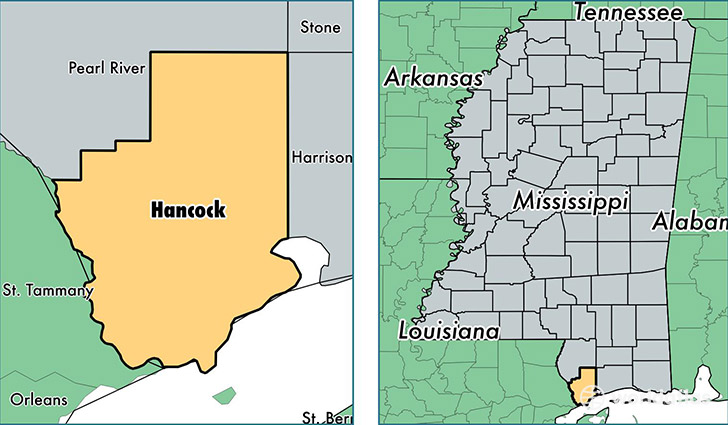
Hancock County is a county equivalent area found in Mississippi, USA. The county government of Hancock is found in the county seat of Bay Saint Louis.
With a total 1,431.66 sq. km of land and water area, Hancock County, Mississippi is the 1997th largest county equivalent area in the United States. Home to 45,949 people, Hancock County has a total 23021 households earning 44522 on average per year.
Hancock County, Mississippi - Quick Facts
| FIPS Code | 28045 |
| Area Codes | 228 |
| Time Zone | CST |
| Major Cities | Bay Saint Louis (population: 15,124), Diamondhead (population: 8,636), Kiln (population: 7,937), Waveland (population: 5,984), Pearlington (population: 1,456) |
| Land Area | 17,741 sq miles |
| Water Area | 474 sq miles |
| Household Income | $44,522 |
| Housing Units | 23,021 |
| Median Home Value | $133,900 |
| High School Grads | 85% of population |
| Holders of Bachelors Degrees | 22% of population |
| Retail Spending | $9,642 per capita |
| Food & Accomodation Sales | $133,842 per capita |
This page was last updated on June 30, 2016.