Where is Franklin County, Mississippi?
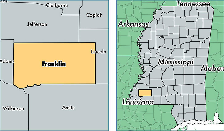
Franklin County is a county equivalent area found in Mississippi, USA. The county government of Franklin is found in the county seat of Meadville.
With a total 1,467.91 sq. km of land and water area, Franklin County, Mississippi is the 1946th largest county equivalent area in the United States. Home to 7,833 people, Franklin County has a total 4125 households earning 32372 on average per year.
Franklin County, Mississippi - Quick Facts
| FIPS Code | 28037 |
| Area Codes | 601 |
| Time Zone | CST |
| Major Cities | Roxie (population: 2,936), Meadville (population: 2,730), Smithdale (population: 2,223), Bude (population: 1,087), McCall Creek (population: 999) |
| Land Area | 3,024 sq miles |
| Water Area | 564 sq miles |
| Household Income | $32,372 |
| Housing Units | 4,125 |
| Median Home Value | $63,700 |
| High School Grads | 81% of population |
| Holders of Bachelors Degrees | 11% of population |
| Retail Spending | $2,507 per capita |
This page was last updated on June 30, 2016.