Where is Calhoun County, Mississippi?
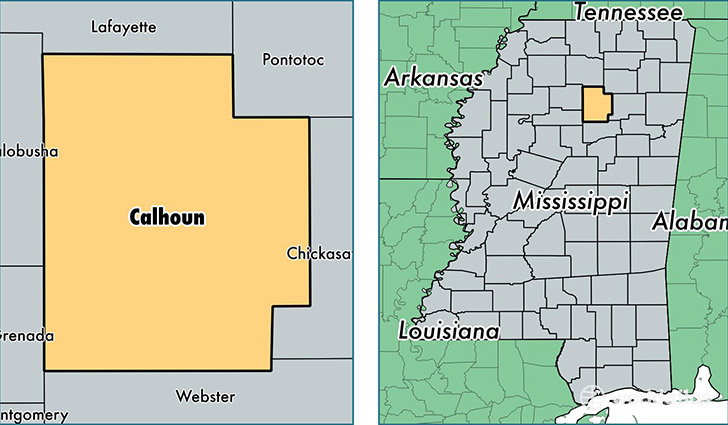
Calhoun County is a county equivalent area found in Mississippi, USA. The county government of Calhoun is found in the county seat of Pittsboro.
With a total 1,522.81 sq. km of land and water area, Calhoun County, Mississippi is the 1786th largest county equivalent area in the United States. Home to 14,745 people, Calhoun County has a total 6891 households earning 30000 on average per year.
Calhoun County, Mississippi - Quick Facts
| FIPS Code | 28013 |
| Area Codes | 662 |
| Time Zone | CST |
| Major Cities | Calhoun City (population: 5,008), Bruce (population: 4,013), Vardaman (population: 2,841), Pittsboro (population: 1,305), Big Creek (population: 547), Banner (population: 392) |
| Land Area | 5,693 sq miles |
| Water Area | 586 sq miles |
| Household Income | $30,000 |
| Housing Units | 6,891 |
| Median Home Value | $61,500 |
| High School Grads | 68% of population |
| Holders of Bachelors Degrees | 10% of population |
| Retail Spending | $6,445 per capita |
| Food & Accomodation Sales | $2,525 per capita |
This page was last updated on June 30, 2016.