Where is Attala County, Mississippi?
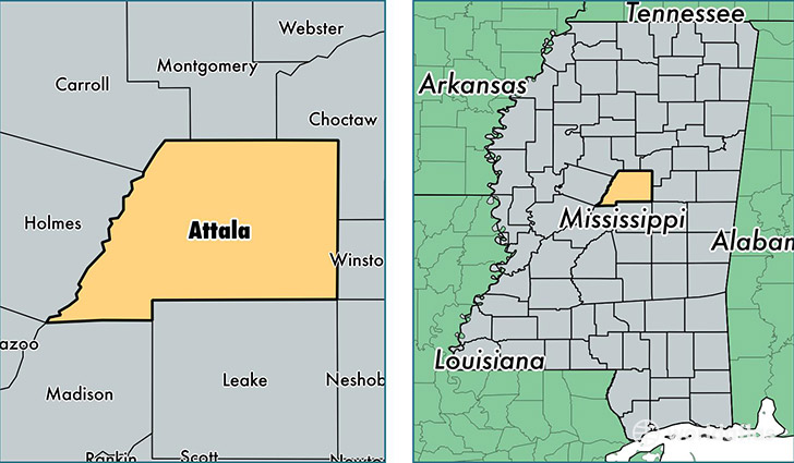
Attala County is a county equivalent area found in Mississippi, USA. The county government of Attala is found in the county seat of Kosciusko.
With a total 1,908.02 sq. km of land and water area, Attala County, Mississippi is the 1308th largest county equivalent area in the United States. Home to 19,163 people, Attala County has a total 9077 households earning 31641 on average per year.
Attala County, Mississippi - Quick Facts
| FIPS Code | 28007 |
| Area Codes | 662 |
| Time Zone | CST |
| Major Cities | Kosciusko (population: 13,118), Sallis (population: 2,828), McCool (population: 1,936), West (population: 1,697), Ethel (population: 1,404), McAdams (population: 119) |
| Land Area | 7,399 sq miles |
| Water Area | 735 sq miles |
| Household Income | $31,641 |
| Housing Units | 9,077 |
| Median Home Value | $71,200 |
| High School Grads | 73% of population |
| Holders of Bachelors Degrees | 16% of population |
| Retail Spending | $8,756 per capita |
| Food & Accomodation Sales | $13,697 per capita |
This page was last updated on June 30, 2016.