Where is Webster County, Missouri?
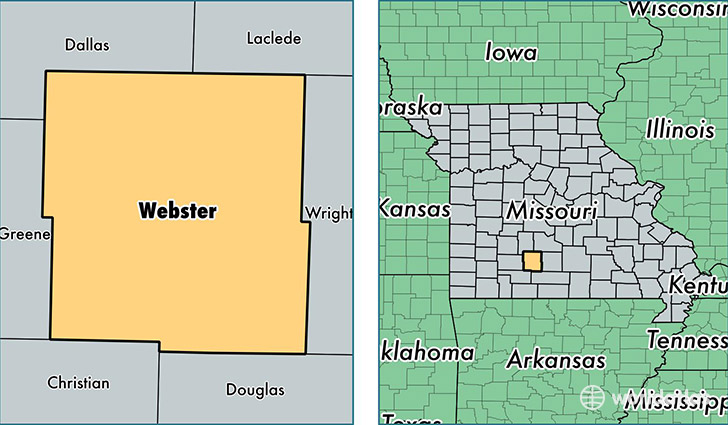
Webster County is a county equivalent area found in Missouri, USA. The county government of Webster is found in the county seat of Marshfield.
With a total 1,537.84 sq. km of land and water area, Webster County, Missouri is the 1762nd largest county equivalent area in the United States. Home to 36,888 people, Webster County has a total 14374 households earning 44596 on average per year.
Webster County, Missouri - Quick Facts
| FIPS Code | 29225 |
| Area Codes | 417 |
| Time Zone | CST |
| Major Cities | Marshfield (population: 14,498), Rogersville (population: 11,537), Seymour (population: 7,919), Fordland (population: 4,182), Elkland (population: 2,765), Niangua (population: 2,502) |
| Land Area | 14,243 sq miles |
| Water Area | 593 sq miles |
| Household Income | $44,596 |
| Housing Units | 14,374 |
| Median Home Value | $116,800 |
| High School Grads | 85% of population |
| Holders of Bachelors Degrees | 15% of population |
| Retail Spending | $8,197 per capita |
| Food & Accomodation Sales | $22,194 per capita |
This page was last updated on June 30, 2016.