Where is Taney County, Missouri?
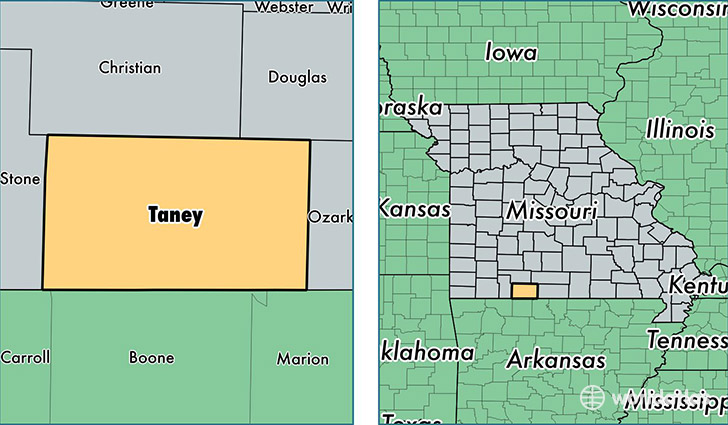
Taney County is a county equivalent area found in Missouri, USA. The county government of Taney is found in the county seat of Forsyth.
With a total 1,687.74 sq. km of land and water area, Taney County, Missouri is the 1569th largest county equivalent area in the United States. Home to 54,230 people, Taney County has a total 29754 households earning 38461 on average per year.
Taney County, Missouri - Quick Facts
| FIPS Code | 29213 |
| Area Codes | 417 |
| Time Zone | CST |
| Major Cities | Branson (population: 24,832), Hollister (population: 9,272), Forsyth (population: 5,850), Rockaway Beach (population: 3,489), Kirbyville (population: 2,771), Taneyville (population: 1,458), Walnut Shade (population: 1,432), Ridgedale (population: 1,358), Kissee Mills (population: 1,230), Protem (population: 731) |
| Land Area | 20,938 sq miles |
| Water Area | 632 sq miles |
| Household Income | $38,461 |
| Housing Units | 29,754 |
| Median Home Value | $129,100 |
| High School Grads | 85% of population |
| Holders of Bachelors Degrees | 19% of population |
| Retail Spending | $18,157 per capita |
| Food & Accomodation Sales | $360,747 per capita |
This page was last updated on June 30, 2016.