Where is Saline County, Missouri?
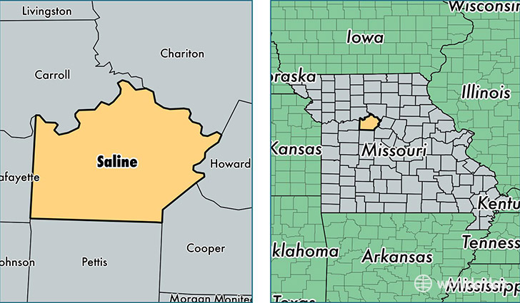
Saline County is a county equivalent area found in Missouri, USA. The county government of Saline is found in the county seat of Marshall.
With a total 1,986.3 sq. km of land and water area, Saline County, Missouri is the 1244th largest county equivalent area in the United States. Home to 23,347 people, Saline County has a total 10061 households earning 39519 on average per year.
Saline County, Missouri - Quick Facts
| FIPS Code | 29195 |
| Area Codes | 660 |
| Time Zone | CST |
| Major Cities | Marshall (population: 15,916), Sweet Springs (population: 2,523), Slater (population: 2,437), Malta Bend (population: 711), Nelson (population: 680), Blackburn (population: 416), Gilliam (population: 411), Miami (population: 331), Arrow Rock (population: 55) |
| Land Area | 9,014 sq miles |
| Water Area | 756 sq miles |
| Household Income | $39,519 |
| Housing Units | 10,061 |
| Median Home Value | $85,700 |
| High School Grads | 83% of population |
| Holders of Bachelors Degrees | 17% of population |
| Retail Spending | $10,141 per capita |
| Food & Accomodation Sales | $15,866 per capita |
This page was last updated on June 30, 2016.