Where is Saint Clair County, Missouri?
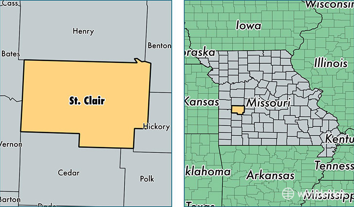
Saint Clair County is a county equivalent area found in Missouri, USA. The county government of Saint Clair is found in the county seat of Osceola.
With a total 1,818.33 sq. km of land and water area, Saint Clair County, Missouri is the 1433rd largest county equivalent area in the United States. Home to 9,457 people, Saint Clair County has a total 5551 households earning 31539 on average per year.
Saint Clair County, Missouri - Quick Facts
| FIPS Code | 29185 |
| Area Codes | 660,417 |
| Time Zone | CST |
| Major Cities | Osceola (population: 3,810), Appleton City (population: 1,799), Lowry City (population: 1,515), Collins (population: 1,110), Roscoe (population: 102) |
| Land Area | 3,651 sq miles |
| Water Area | 670 sq miles |
| Household Income | $31,539 |
| Housing Units | 5,551 |
| Median Home Value | $81,600 |
| High School Grads | 81% of population |
| Holders of Bachelors Degrees | 12% of population |
| Retail Spending | $6,861 per capita |
| Food & Accomodation Sales | $5,420 per capita |
This page was last updated on June 30, 2016.