Where is Saint Charles County, Missouri?
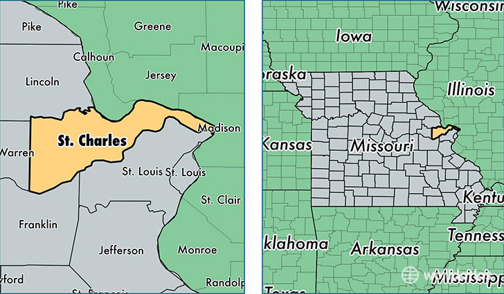
Saint Charles County is a county equivalent area found in Missouri, USA. The county government of Saint Charles is found in the county seat of Saint Charles.
With a total 1,534.85 sq. km of land and water area, Saint Charles County, Missouri is the 1765th largest county equivalent area in the United States. Home to 379,493 people, Saint Charles County has a total 145049 households earning 71077 on average per year.
Saint Charles County, Missouri - Quick Facts
| FIPS Code | 29183 |
| Area Codes | 636 |
| Time Zone | CST |
| Major Cities | Saint Charles (population: 137,739), O Fallon (population: 91,566), Saint Peters (population: 72,435), Wentzville (population: 36,561), Lake Saint Louis (population: 19,874), Foristell (population: 6,166), Defiance (population: 3,610), Augusta (population: 1,321), Portage des Sioux (population: 616), West Alton (population: 550) |
| Land Area | 146,523 sq miles |
| Water Area | 561 sq miles |
| Household Income | $71,077 |
| Housing Units | 145,049 |
| Median Home Value | $189,100 |
| High School Grads | 94% of population |
| Holders of Bachelors Degrees | 35% of population |
| Retail Spending | $12,822 per capita |
| Food & Accomodation Sales | $537,680 per capita |
This page was last updated on June 30, 2016.