Where is Randolph County, Missouri?
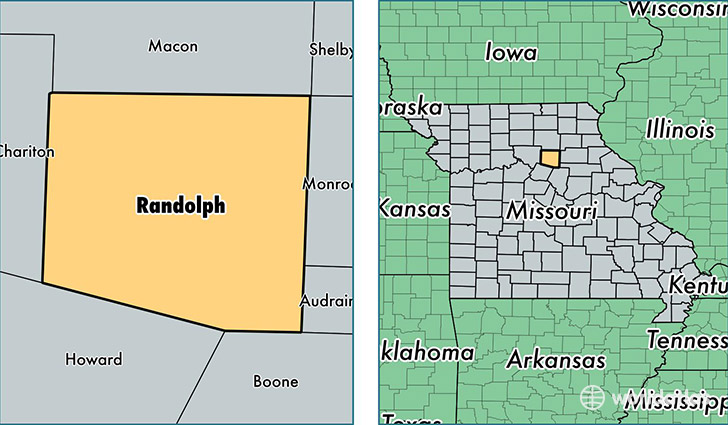
Randolph County is a county equivalent area found in Missouri, USA. The county government of Randolph is found in the county seat of Huntsville.
With a total 1,263.47 sq. km of land and water area, Randolph County, Missouri is the 2220th largest county equivalent area in the United States. Home to 25,072 people, Randolph County has a total 10617 households earning 37203 on average per year.
Randolph County, Missouri - Quick Facts
| FIPS Code | 29175 |
| Area Codes | 660,573 |
| Time Zone | CST |
| Major Cities | Moberly (population: 17,622), Huntsville (population: 2,848), Clark (population: 2,823), Higbee (population: 1,560), Cairo (population: 1,304), Clifton Hill (population: 410), Renick (population: 122) |
| Land Area | 9,680 sq miles |
| Water Area | 483 sq miles |
| Household Income | $37,203 |
| Housing Units | 10,617 |
| Median Home Value | $84,600 |
| High School Grads | 85% of population |
| Holders of Bachelors Degrees | 14% of population |
| Retail Spending | $11,460 per capita |
| Food & Accomodation Sales | $21,767 per capita |
This page was last updated on June 30, 2016.