Where is Pulaski County, Missouri?
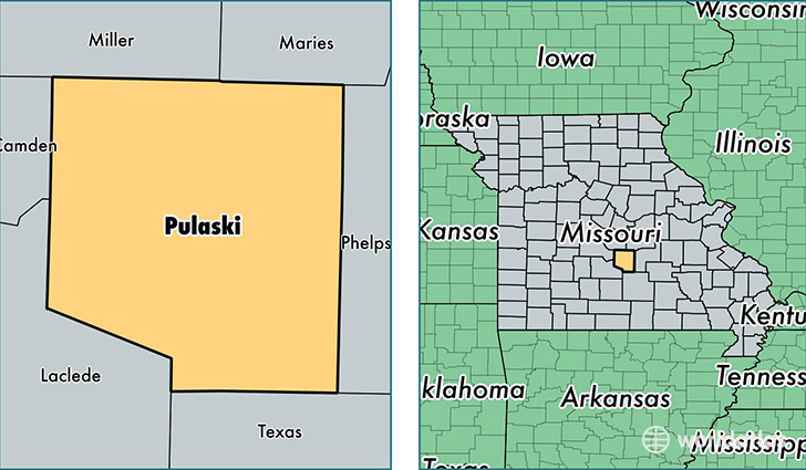
Pulaski County is a county equivalent area found in Missouri, USA. The county government of Pulaski is found in the county seat of Waynesville.
With a total 1,428.33 sq. km of land and water area, Pulaski County, Missouri is the 2002nd largest county equivalent area in the United States. Home to 53,436 people, Pulaski County has a total 18281 households earning 49820 on average per year.
Pulaski County, Missouri - Quick Facts
| FIPS Code | 29169 |
| Area Codes | 573 |
| Time Zone | CST |
| Major Cities | Fort Leonard Wood (population: 15,342), Waynesville (population: 12,538), Saint Robert (population: 10,040), Dixon (population: 8,315), Richland (population: 5,935), Crocker (population: 3,376), Laquey (population: 1,047), Devils Elbow (population: 344) |
| Land Area | 20,632 sq miles |
| Water Area | 547 sq miles |
| Household Income | $49,820 |
| Housing Units | 18,281 |
| Median Home Value | $121,600 |
| High School Grads | 90% of population |
| Holders of Bachelors Degrees | 21% of population |
| Retail Spending | $8,479 per capita |
| Food & Accomodation Sales | $74,338 per capita |
| Universities and Colleges | Salem College of Hairstyling, Central College of Cosmetology |
This page was last updated on June 30, 2016.