Where is Platte County, Missouri?
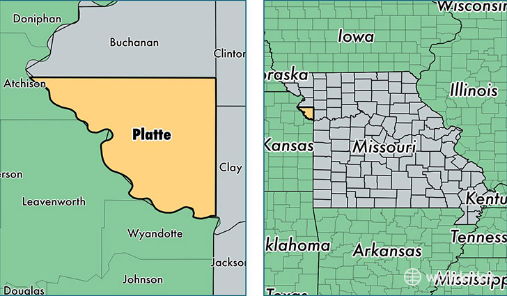
Platte County is a county equivalent area found in Missouri, USA. The county government of Platte is found in the county seat of Platte City.
With a total 1,105.42 sq. km of land and water area, Platte County, Missouri is the 2457th largest county equivalent area in the United States. Home to 94,788 people, Platte County has a total 39756 households earning 67721 on average per year.
Platte County, Missouri - Quick Facts
| FIPS Code | 29165 |
| Area Codes | 816 |
| Time Zone | CST |
| Major Cities | Kansas City (population: 67,773), Platte City (population: 12,866), Riverside (population: 3,141), Weston (population: 2,980), Dearborn (population: 1,679), Edgerton (population: 1,378), Camden Point (population: 917), Waldron (population: 45) |
| Land Area | 36,598 sq miles |
| Water Area | 420 sq miles |
| Household Income | $67,721 |
| Housing Units | 39,756 |
| Median Home Value | $184,900 |
| High School Grads | 94% of population |
| Holders of Bachelors Degrees | 39% of population |
| Retail Spending | $19,821 per capita |
| Food & Accomodation Sales | $465,596 per capita |
This page was last updated on June 30, 2016.