Where is Nodaway County, Missouri?
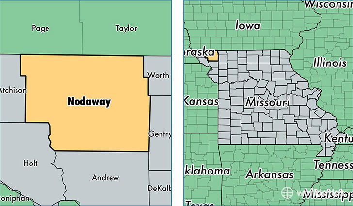
Nodaway County is a county equivalent area found in Missouri, USA. The county government of Nodaway is found in the county seat of Maryville.
With a total 2,273.69 sq. km of land and water area, Nodaway County, Missouri is the 1024th largest county equivalent area in the United States. Home to 23,081 people, Nodaway County has a total 9574 households earning 36641 on average per year.
Nodaway County, Missouri - Quick Facts
| FIPS Code | 29147 |
| Area Codes | 660 |
| Time Zone | CST |
| Major Cities | Maryville (population: 16,056), Ravenwood (population: 908), Burlington Junction (population: 899), Hopkins (population: 898), Barnard (population: 762), Skidmore (population: 755), Conception Junction (population: 519), Parnell (population: 465), Clearmont (population: 382), Pickering (population: 379) |
| Land Area | 8,912 sq miles |
| Water Area | 877 sq miles |
| Household Income | $36,641 |
| Housing Units | 9,574 |
| Median Home Value | $101,800 |
| High School Grads | 91% of population |
| Holders of Bachelors Degrees | 23% of population |
| Retail Spending | $9,377 per capita |
| Food & Accomodation Sales | $28,785 per capita |
This page was last updated on June 30, 2016.