Where is Jasper County, Missouri?
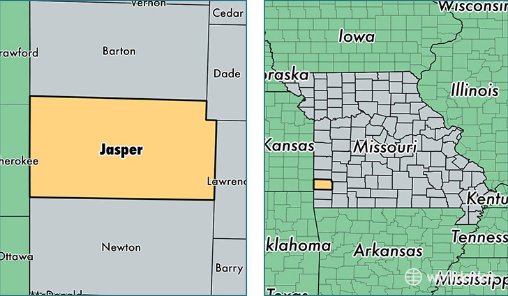
Jasper County is a county equivalent area found in Missouri, USA. The county government of Jasper is found in the county seat of Carthage.
With a total 1,660.89 sq. km of land and water area, Jasper County, Missouri is the 1604th largest county equivalent area in the United States. Home to 117,543 people, Jasper County has a total 50782 households earning 40399 on average per year.
Jasper County, Missouri - Quick Facts
| FIPS Code | 29097 |
| Area Codes | 417 |
| Time Zone | CST |
| Major Cities | Joplin (population: 71,525), Carthage (population: 23,502), Webb City (population: 14,063), Carl Junction (population: 9,381), Sarcoxie (population: 3,293), Oronogo (population: 2,745), Jasper (population: 2,554), Carterville (population: 1,864), Reeds (population: 1,333), Alba (population: 627) |
| Land Area | 45,384 sq miles |
| Water Area | 639 sq miles |
| Household Income | $40,399 |
| Housing Units | 50,782 |
| Median Home Value | $98,300 |
| High School Grads | 84% of population |
| Holders of Bachelors Degrees | 20% of population |
| Retail Spending | $17,111 per capita |
| Food & Accomodation Sales | $182,316 per capita |
| Universities and Colleges | Class Act I School of Cosmetology |
This page was last updated on June 30, 2016.