Where is Hickory County, Missouri?
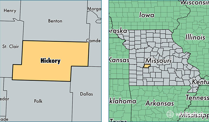
Hickory County is a county equivalent area found in Missouri, USA. The county government of Hickory is found in the county seat of Hermitage.
With a total 1,066.36 sq. km of land and water area, Hickory County, Missouri is the 2532nd largest county equivalent area in the United States. Home to 9,219 people, Hickory County has a total 6697 households earning 29325 on average per year.
Hickory County, Missouri - Quick Facts
| FIPS Code | 29085 |
| Area Codes | 417 |
| Time Zone | CST |
| Major Cities | Wheatland (population: 2,153), Hermitage (population: 1,702), Flemington (population: 1,496), Pittsburg (population: 1,357), Weaubleau (population: 928), Preston (population: 849), Cross Timbers (population: 747), Quincy (population: 107) |
| Land Area | 3,559 sq miles |
| Water Area | 399 sq miles |
| Household Income | $29,325 |
| Housing Units | 6,697 |
| Median Home Value | $98,700 |
| High School Grads | 82% of population |
| Holders of Bachelors Degrees | 10% of population |
| Retail Spending | $5,516 per capita |
| Food & Accomodation Sales | $1,641 per capita |
This page was last updated on June 30, 2016.