Where is Gentry County, Missouri?
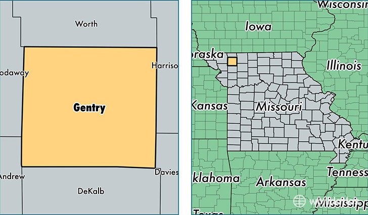
Gentry County is a county equivalent area found in Missouri, USA. The county government of Gentry is found in the county seat of Albany.
With a total 1,273.54 sq. km of land and water area, Gentry County, Missouri is the 2212th largest county equivalent area in the United States. Home to 6,826 people, Gentry County has a total 3183 households earning 39192 on average per year.
Gentry County, Missouri - Quick Facts
| FIPS Code | 29075 |
| Area Codes | 660 |
| Time Zone | CST |
| Major Cities | Albany (population: 2,401), Stanberry (population: 2,210), King City (population: 1,652), McFall (population: 320), Darlington (population: 271), Gentry (population: 218) |
| Land Area | 2,636 sq miles |
| Water Area | 492 sq miles |
| Household Income | $39,192 |
| Housing Units | 3,183 |
| Median Home Value | $80,400 |
| High School Grads | 86% of population |
| Holders of Bachelors Degrees | 15% of population |
| Retail Spending | $9,511 per capita |
| Food & Accomodation Sales | $2,012 per capita |
This page was last updated on June 30, 2016.