Where is Dunklin County, Missouri?
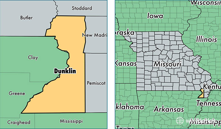
Dunklin County is a county equivalent area found in Missouri, USA. The county government of Dunklin is found in the county seat of Kennett.
With a total 1,417.2 sq. km of land and water area, Dunklin County, Missouri is the 2014th largest county equivalent area in the United States. Home to 31,344 people, Dunklin County has a total 14297 households earning 31304 on average per year.
Dunklin County, Missouri - Quick Facts
| FIPS Code | 29069 |
| Area Codes | 573 |
| Time Zone | CST |
| Major Cities | Kennett (population: 12,904), Malden (population: 6,331), Campbell (population: 3,704), Senath (population: 2,364), Clarkton (population: 1,646), Holcomb (population: 1,481), Cardwell (population: 1,115), Hornersville (population: 1,112), Arbyrd (population: 966), Gobler (population: 184) |
| Land Area | 12,102 sq miles |
| Water Area | 541 sq miles |
| Household Income | $31,304 |
| Housing Units | 14,297 |
| Median Home Value | $67,800 |
| High School Grads | 72% of population |
| Holders of Bachelors Degrees | 11% of population |
| Retail Spending | $11,781 per capita |
| Food & Accomodation Sales | $24,917 per capita |
This page was last updated on June 30, 2016.