Where is Dallas County, Missouri?
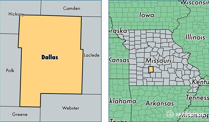
Dallas County is a county equivalent area found in Missouri, USA. The county government of Dallas is found in the county seat of Buffalo.
With a total 1,405.97 sq. km of land and water area, Dallas County, Missouri is the 2030th largest county equivalent area in the United States. Home to 16,389 people, Dallas County has a total 7553 households earning 40120 on average per year.
Dallas County, Missouri - Quick Facts
| FIPS Code | 29059 |
| Area Codes | 417 |
| Time Zone | CST |
| Major Cities | Buffalo (population: 8,724), Urbana (population: 2,090), Tunas (population: 1,288), Long Lane (population: 1,232), Louisburg (population: 877), Windyville (population: 225) |
| Land Area | 6,328 sq miles |
| Water Area | 541 sq miles |
| Household Income | $40,120 |
| Housing Units | 7,553 |
| Median Home Value | $101,400 |
| High School Grads | 77% of population |
| Holders of Bachelors Degrees | 14% of population |
| Retail Spending | $8,610 per capita |
| Food & Accomodation Sales | $8,357 per capita |
This page was last updated on June 30, 2016.