Where is Crawford County, Missouri?
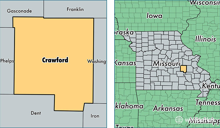
Crawford County is a county equivalent area found in Missouri, USA. The county government of Crawford is found in the county seat of Steelville.
With a total 1,926.31 sq. km of land and water area, Crawford County, Missouri is the 1291st largest county equivalent area in the United States. Home to 24,650 people, Crawford County has a total 11877 households earning 35897 on average per year.
Crawford County, Missouri - Quick Facts
| FIPS Code | 29055 |
| Area Codes | 573 |
| Time Zone | CST |
| Major Cities | Cuba (population: 8,592), Steelville (population: 5,883), Bourbon (population: 5,221), Leasburg (population: 1,682), Davisville (population: 520), Cook Station (population: 352), Cherryville (population: 332), Wesco (population: 33) |
| Land Area | 9,517 sq miles |
| Water Area | 742 sq miles |
| Household Income | $35,897 |
| Housing Units | 11,877 |
| Median Home Value | $105,100 |
| High School Grads | 78% of population |
| Holders of Bachelors Degrees | 13% of population |
| Retail Spending | $7,267 per capita |
| Food & Accomodation Sales | $25,507 per capita |
This page was last updated on June 30, 2016.