Where is Cole County, Missouri?
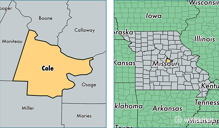
Cole County is a county equivalent area found in Missouri, USA. The county government of Cole is found in the county seat of Jefferson City.
With a total 1,033.27 sq. km of land and water area, Cole County, Missouri is the 2604th largest county equivalent area in the United States. Home to 76,557 people, Cole County has a total 32556 households earning 53931 on average per year.
Cole County, Missouri - Quick Facts
| FIPS Code | 29051 |
| Area Codes | 573 |
| Time Zone | CST |
| Major Cities | Jefferson City (population: 69,011), Russellville (population: 3,072), Eugene (population: 1,798), Centertown (population: 1,737), Lohman (population: 1,431), Henley (population: 1,213), Saint Thomas (population: 831) |
| Land Area | 29,559 sq miles |
| Water Area | 392 sq miles |
| Household Income | $53,931 |
| Housing Units | 32,556 |
| Median Home Value | $142,400 |
| High School Grads | 90% of population |
| Holders of Bachelors Degrees | 31% of population |
| Retail Spending | $16,357 per capita |
| Food & Accomodation Sales | $127,555 per capita |
| Universities and Colleges | Merrell University of Beauty Arts and Science |
This page was last updated on June 30, 2016.