Where is Clinton County, Missouri?
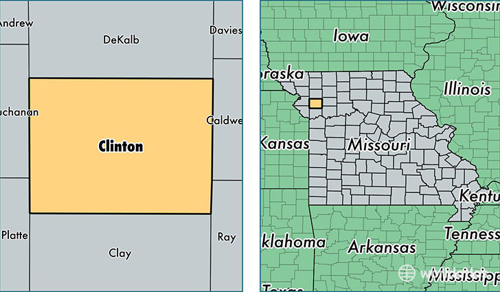
Clinton County is a county equivalent area found in Missouri, USA. The county government of Clinton is found in the county seat of Plattsburg.
With a total 1,096.82 sq. km of land and water area, Clinton County, Missouri is the 2475th largest county equivalent area in the United States. Home to 20,299 people, Clinton County has a total 8850 households earning 53826 on average per year.
Clinton County, Missouri - Quick Facts
| FIPS Code | 29049 |
| Area Codes | 816 |
| Time Zone | CST |
| Major Cities | Cameron (population: 13,084), Lathrop (population: 4,198), Plattsburg (population: 3,365), Trimble (population: 1,772), Turney (population: 454) |
| Land Area | 7,837 sq miles |
| Water Area | 419 sq miles |
| Household Income | $53,826 |
| Housing Units | 8,850 |
| Median Home Value | $142,900 |
| High School Grads | 90% of population |
| Holders of Bachelors Degrees | 17% of population |
| Retail Spending | $7,019 per capita |
| Food & Accomodation Sales | $16,242 per capita |
This page was last updated on June 30, 2016.