Where is Cedar County, Missouri?
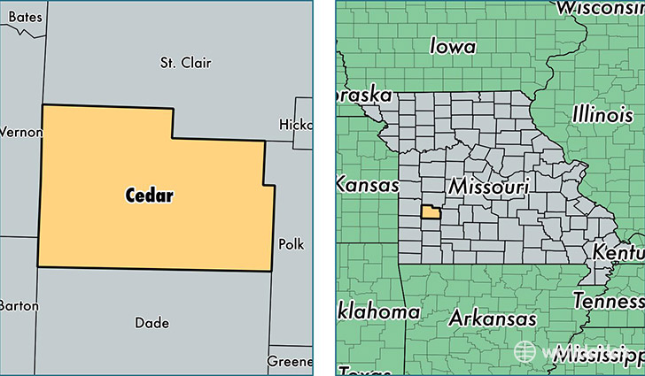
Cedar County is a county equivalent area found in Missouri, USA. The county government of Cedar is found in the county seat of Stockton.
With a total 1,291.51 sq. km of land and water area, Cedar County, Missouri is the 2188th largest county equivalent area in the United States. Home to 13,952 people, Cedar County has a total 7147 households earning 30302 on average per year.
Cedar County, Missouri - Quick Facts
| FIPS Code | 29039 |
| Area Codes | 417 |
| Time Zone | CST |
| Major Cities | El Dorado Springs (population: 7,718), Stockton (population: 5,187), Jerico Springs (population: 729) |
| Land Area | 5,387 sq miles |
| Water Area | 475 sq miles |
| Household Income | $30,302 |
| Housing Units | 7,147 |
| Median Home Value | $88,500 |
| High School Grads | 84% of population |
| Holders of Bachelors Degrees | 15% of population |
| Retail Spending | $8,694 per capita |
| Food & Accomodation Sales | $9,794 per capita |
This page was last updated on June 30, 2016.