Where is Carroll County, Missouri?
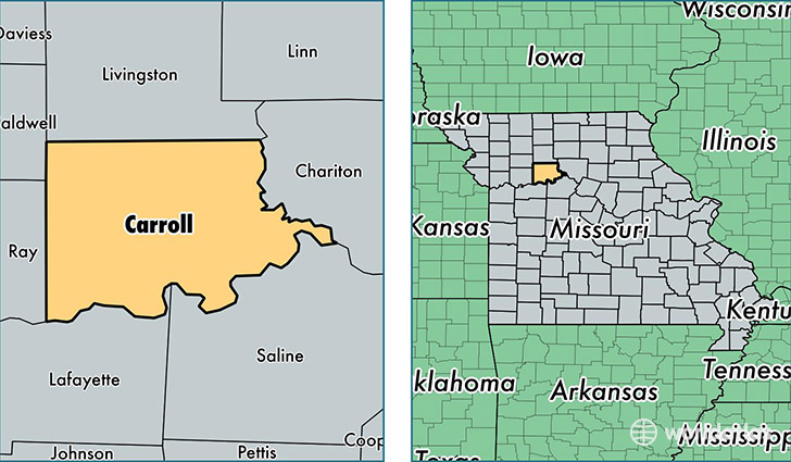
Carroll County is a county equivalent area found in Missouri, USA. The county government of Carroll is found in the county seat of Carrollton.
With a total 1,816.6 sq. km of land and water area, Carroll County, Missouri is the 1436th largest county equivalent area in the United States. Home to 9,043 people, Carroll County has a total 4602 households earning 46002 on average per year.
Carroll County, Missouri - Quick Facts
| FIPS Code | 29033 |
| Area Codes | 660 |
| Time Zone | CST |
| Major Cities | Carrollton (population: 5,098), Norborne (population: 1,385), Hale (population: 1,051), Bosworth (population: 595), Bogard (population: 586), Tina (population: 369), De Witt (population: 234) |
| Land Area | 3,492 sq miles |
| Water Area | 695 sq miles |
| Household Income | $46,002 |
| Housing Units | 4,602 |
| Median Home Value | $83,900 |
| High School Grads | 84% of population |
| Holders of Bachelors Degrees | 16% of population |
| Retail Spending | $6,161 per capita |
| Food & Accomodation Sales | $5,499 per capita |
This page was last updated on June 30, 2016.