Where is Buchanan County, Missouri?
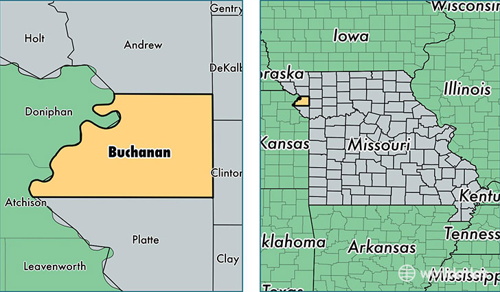
Buchanan County is a county equivalent area found in Missouri, USA. The county government of Buchanan is found in the county seat of Saint Joseph.
With a total 1,073.95 sq. km of land and water area, Buchanan County, Missouri is the 2518th largest county equivalent area in the United States. Home to 89,486 people, Buchanan County has a total 38324 households earning 44363 on average per year.
Buchanan County, Missouri - Quick Facts
| FIPS Code | 29021 |
| Area Codes | 816 |
| Time Zone | CST |
| Major Cities | Saint Joseph (population: 87,613), Gower (population: 2,646), Agency (population: 1,425), Rushville (population: 1,240), Faucett (population: 1,110), Easton (population: 1,102), DeKalb (population: 741) |
| Land Area | 34,551 sq miles |
| Water Area | 408 sq miles |
| Household Income | $44,363 |
| Housing Units | 38,324 |
| Median Home Value | $109,700 |
| High School Grads | 86% of population |
| Holders of Bachelors Degrees | 20% of population |
| Retail Spending | $16,199 per capita |
| Food & Accomodation Sales | $154,484 per capita |
This page was last updated on June 30, 2016.