Where is Bates County, Missouri?
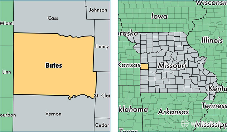
Bates County is a county equivalent area found in Missouri, USA. The county government of Bates is found in the county seat of Butler.
With a total 2,205.07 sq. km of land and water area, Bates County, Missouri is the 1083rd largest county equivalent area in the United States. Home to 16,584 people, Bates County has a total 7777 households earning 38579 on average per year.
Bates County, Missouri - Quick Facts
| FIPS Code | 29013 |
| Area Codes | 816,660,417 |
| Time Zone | CST |
| Major Cities | Butler (population: 6,967), Adrian (population: 3,766), Rich Hill (population: 2,639), Hume (population: 720), Amsterdam (population: 651), Rockville (population: 622), Amoret (population: 514), Foster (population: 114) |
| Land Area | 6,403 sq miles |
| Water Area | 837 sq miles |
| Household Income | $38,579 |
| Housing Units | 7,777 |
| Median Home Value | $99,400 |
| High School Grads | 84% of population |
| Holders of Bachelors Degrees | 12% of population |
| Retail Spending | $7,994 per capita |
| Food & Accomodation Sales | $12,312 per capita |
This page was last updated on June 30, 2016.