Where is Barton County, Missouri?
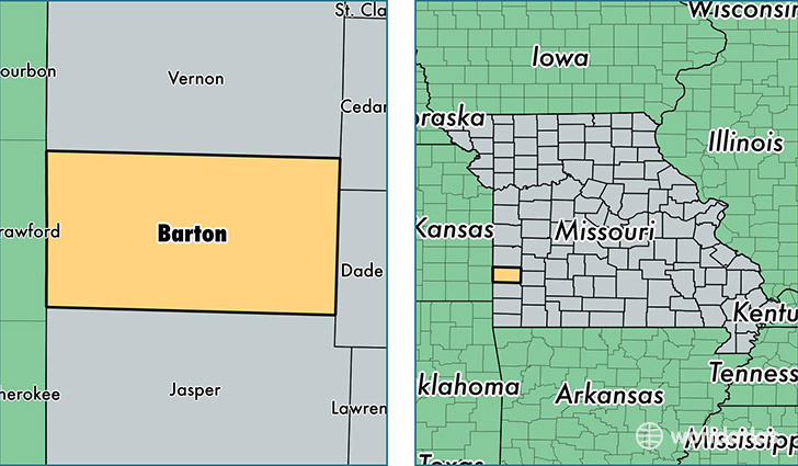
Barton County is a county equivalent area found in Missouri, USA. The county government of Barton is found in the county seat of Lamar.
With a total 1,545.5 sq. km of land and water area, Barton County, Missouri is the 1752nd largest county equivalent area in the United States. Home to 12,057 people, Barton County has a total 5554 households earning 40580 on average per year.
Barton County, Missouri - Quick Facts
| FIPS Code | 29011 |
| Area Codes | 417 |
| Time Zone | CST |
| Major Cities | Lamar (population: 8,200), Liberal (population: 1,595), Golden City (population: 1,475), Asbury (population: 720), Mindenmines (population: 607) |
| Land Area | 4,655 sq miles |
| Water Area | 592 sq miles |
| Household Income | $40,580 |
| Housing Units | 5,554 |
| Median Home Value | $84,700 |
| High School Grads | 86% of population |
| Holders of Bachelors Degrees | 17% of population |
| Retail Spending | $10,623 per capita |
| Food & Accomodation Sales | $8,445 per capita |
This page was last updated on June 30, 2016.