Where is Rochester, MN?
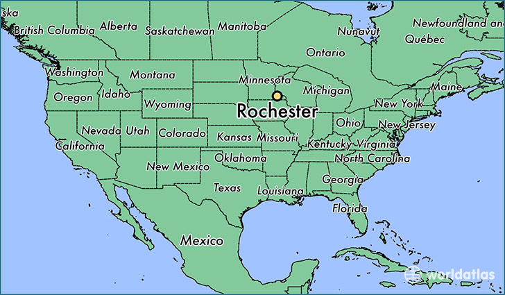
Rochester is a city found in Minnesota, The United States Of America. It is located 44.02 latitude and -92.47 longitude and it is situated at elevation 314 meters above sea level.
Rochester has a population of 106,769 making it the 3rd biggest city in Minnesota. It operates on the CDT time zone, which means that it follows the same time zone as Minneapolis.
Quick facts
| Country | The United States Of America |
| State | Minnesota |
| Population | 106,769 |
| Elevation | 314 m over sea level |
| Time Zone | CDT |
| Longitude | -92.469900 |
| Latitude | 44.021630 |
Rochester has a population of around 110275, of which 53484 (48%) are male and 56791 (51%) are female. The average age of the inhabitants of Rochester is 37.09, meaning that the average person is above the national median age of 37. For every male, there are approximately 1.06 females, meaning that the population is relatively evenly distributed between males and female(s).
Of Rochester's 110275 residents, around 107220 (97.20%) identify as having a single race. The majority of the population is white, which consists of 81.90% of the population. Of the remaining population, 7332 are black/African Americans (6.60%), 306 are native Americans (0.30%), 8194 are asians (7.40%), 16 are pacific islanders (0.00%), 1003 are other (0.90%).
The median income of households in Rochester is $64554.00, meaning that most of the households are above the poverty threshold for families of three. Of the total population, 5.30% of households reported an annual income of less than $10,000.
Rochester, MN Zipcodes
The city of Rochester has 8 zipcodes recognized by the United States Census Bureau: 55901, 55902, 55904, 55905, 55906, 55920, 55960, 55976.