Where is Winona County, Minnesota?
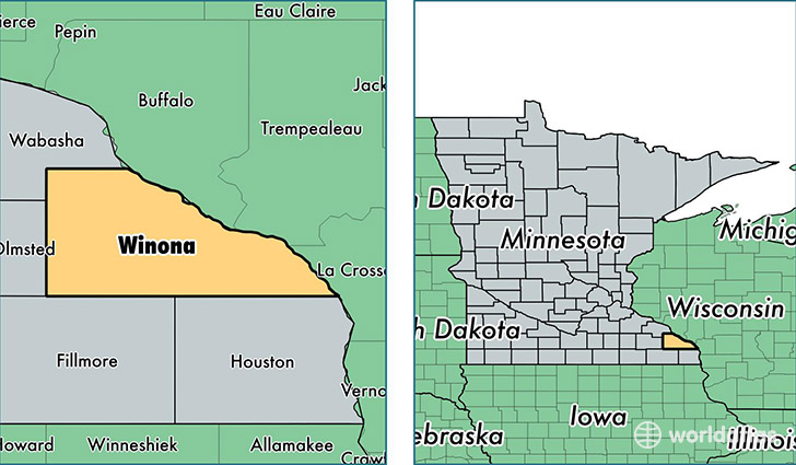
Winona County is a county equivalent area found in Minnesota, USA. The county government of Winona is found in the county seat of Winona.
With a total 1,661.69 sq. km of land and water area, Winona County, Minnesota is the 1601st largest county equivalent area in the United States. Home to 51,097 people, Winona County has a total 20834 households earning 47468 on average per year.
Winona County, Minnesota - Quick Facts
| FIPS Code | 27169 |
| Area Codes | 507 |
| Time Zone | CST |
| Major Cities | Winona (population: 35,745), Saint Charles (population: 5,014), Lewiston (population: 2,537), Minnesota City (population: 2,328), Altura (population: 1,425), Utica (population: 1,146), Rollingstone (population: 1,120), Dakota (population: 1,116), Stockton (population: 262) |
| Land Area | 19,729 sq miles |
| Water Area | 626 sq miles |
| Household Income | $47,468 |
| Housing Units | 20,834 |
| Median Home Value | $158,000 |
| High School Grads | 90% of population |
| Holders of Bachelors Degrees | 27% of population |
| Retail Spending | $13,403 per capita |
| Food & Accomodation Sales | $65,402 per capita |
| Universities and Colleges | Saint Mary's University of Minnesota |
This page was last updated on June 30, 2016.