Where is Wilkin County, Minnesota?
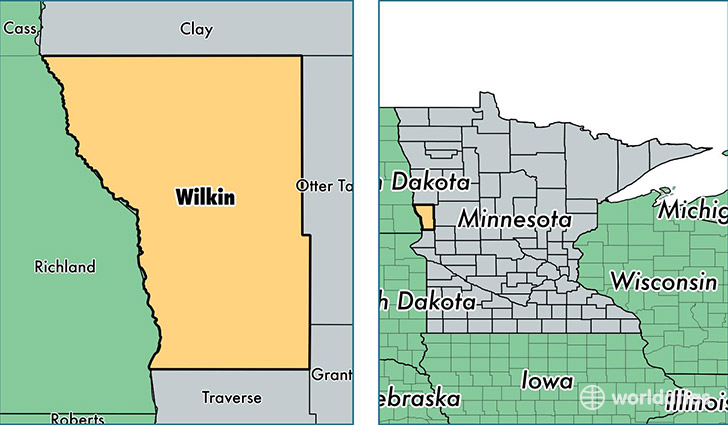
Wilkin County is a county equivalent area found in Minnesota, USA. The county government of Wilkin is found in the county seat of Breckenridge.
With a total 1,945.52 sq. km of land and water area, Wilkin County, Minnesota is the 1278th largest county equivalent area in the United States. Home to 6,495 people, Wilkin County has a total 3063 households earning 50507 on average per year.
Wilkin County, Minnesota - Quick Facts
| FIPS Code | 27167 |
| Area Codes | 218 |
| Time Zone | CST |
| Major Cities | Breckenridge (population: 3,988), Rothsay (population: 1,136), Campbell (population: 538), Wolverton (population: 440), Kent (population: 293), Foxhome (population: 276), Tintah (population: 164), Nashua (population: 107) |
| Land Area | 2,508 sq miles |
| Water Area | 751 sq miles |
| Household Income | $50,507 |
| Housing Units | 3,063 |
| Median Home Value | $107,300 |
| High School Grads | 90% of population |
| Holders of Bachelors Degrees | 17% of population |
| Retail Spending | $8,675 per capita |
| Food & Accomodation Sales | $5,102 per capita |
This page was last updated on June 30, 2016.