Where is Watonwan County, Minnesota?
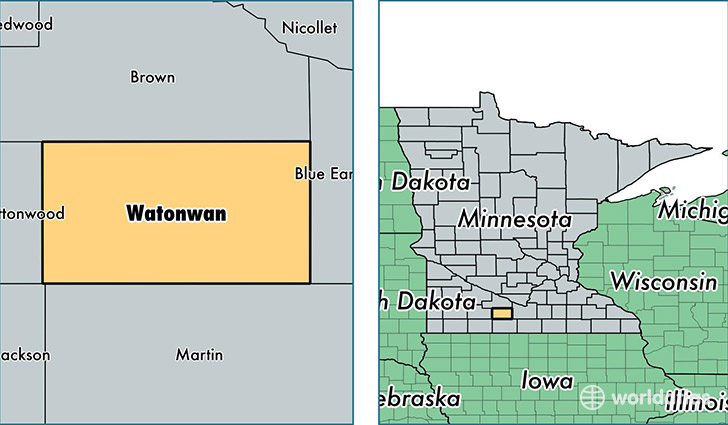
Watonwan County is a county equivalent area found in Minnesota, USA. The county government of Watonwan is found in the county seat of Saint James.
With a total 1,138.9 sq. km of land and water area, Watonwan County, Minnesota is the 2387th largest county equivalent area in the United States. Home to 11,083 people, Watonwan County has a total 5023 households earning 49698 on average per year.
Watonwan County, Minnesota - Quick Facts
| FIPS Code | 27165 |
| Area Codes | 507 |
| Time Zone | CST |
| Major Cities | Saint James (population: 6,083), Madelia (population: 3,204), Lewisville (population: 451), La Salle (population: 95), Darfur (population: 69) |
| Land Area | 4,279 sq miles |
| Water Area | 435 sq miles |
| Household Income | $49,698 |
| Housing Units | 5,023 |
| Median Home Value | $95,700 |
| High School Grads | 85% of population |
| Holders of Bachelors Degrees | 16% of population |
| Retail Spending | $6,402 per capita |
| Food & Accomodation Sales | $9,103 per capita |
This page was last updated on June 30, 2016.