Where is Wadena County, Minnesota?
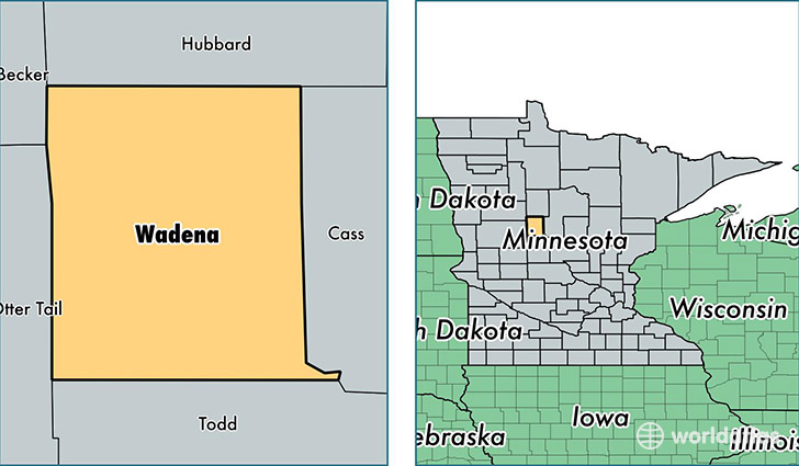
Wadena County is a county equivalent area found in Minnesota, USA. The county government of Wadena is found in the county seat of Wadena.
With a total 1,406.97 sq. km of land and water area, Wadena County, Minnesota is the 2026th largest county equivalent area in the United States. Home to 13,757 people, Wadena County has a total 6945 households earning 36928 on average per year.
Wadena County, Minnesota - Quick Facts
| FIPS Code | 27159 |
| Area Codes | 218 |
| Time Zone | CST |
| Major Cities | Wadena (population: 6,635), Menahga (population: 4,335), Sebeka (population: 2,745), Verndale (population: 2,016) |
| Land Area | 5,312 sq miles |
| Water Area | 536 sq miles |
| Household Income | $36,928 |
| Housing Units | 6,945 |
| Median Home Value | $114,600 |
| High School Grads | 88% of population |
| Holders of Bachelors Degrees | 14% of population |
| Retail Spending | $13,284 per capita |
| Food & Accomodation Sales | $10,906 per capita |
This page was last updated on June 30, 2016.