Where is Steele County, Minnesota?
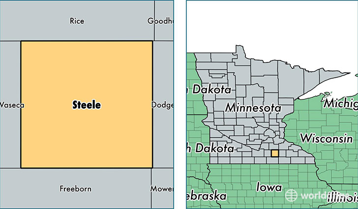
Steele County is a county equivalent area found in Minnesota, USA. The county government of Steele is found in the county seat of Owatonna.
With a total 1,119.75 sq. km of land and water area, Steele County, Minnesota is the 2433rd largest county equivalent area in the United States. Home to 36,573 people, Steele County has a total 15357 households earning 56480 on average per year.
Steele County, Minnesota - Quick Facts
| FIPS Code | 27147 |
| Area Codes | 507 |
| Time Zone | CST |
| Major Cities | Owatonna (population: 28,710), Blooming Prairie (population: 3,678), Medford (population: 2,459), Ellendale (population: 1,998), Hope (population: 93) |
| Land Area | 14,121 sq miles |
| Water Area | 430 sq miles |
| Household Income | $56,480 |
| Housing Units | 15,357 |
| Median Home Value | $155,400 |
| High School Grads | 92% of population |
| Holders of Bachelors Degrees | 25% of population |
| Retail Spending | $14,959 per capita |
| Food & Accomodation Sales | $67,718 per capita |
This page was last updated on June 30, 2016.