Where is Rice County, Minnesota?
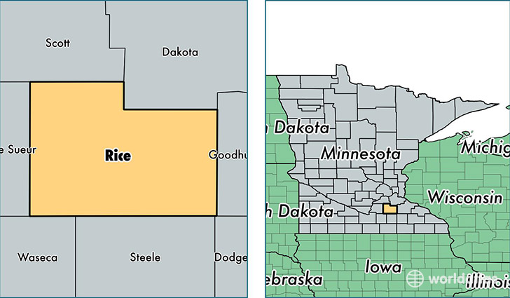
Rice County is a county equivalent area found in Minnesota, USA. The county government of Rice is found in the county seat of Faribault.
With a total 1,336.29 sq. km of land and water area, Rice County, Minnesota is the 2120th largest county equivalent area in the United States. Home to 65,151 people, Rice County has a total 24420 households earning 59915 on average per year.
Rice County, Minnesota - Quick Facts
| FIPS Code | 27131 |
| Area Codes | 507,952 |
| Time Zone | CST |
| Major Cities | Faribault (population: 30,062), Northfield (population: 24,890), Lonsdale (population: 5,268), Morristown (population: 2,112), Dundas (population: 1,837), Webster (population: 1,739), Nerstrand (population: 1,018), Kilkenny (population: 700), Warsaw (population: 270) |
| Land Area | 25,155 sq miles |
| Water Area | 496 sq miles |
| Household Income | $59,915 |
| Housing Units | 24,420 |
| Median Home Value | $187,500 |
| High School Grads | 91% of population |
| Holders of Bachelors Degrees | 28% of population |
| Retail Spending | $9,666 per capita |
| Food & Accomodation Sales | $80,619 per capita |
This page was last updated on June 30, 2016.