Where is Murray County, Minnesota?
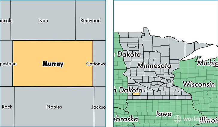
Murray County is a county equivalent area found in Minnesota, USA. The county government of Murray is found in the county seat of Slayton.
With a total 1,863.5 sq. km of land and water area, Murray County, Minnesota is the 1370th largest county equivalent area in the United States. Home to 8,470 people, Murray County has a total 4569 households earning 52160 on average per year.
Murray County, Minnesota - Quick Facts
| FIPS Code | 27101 |
| Area Codes | 507 |
| Time Zone | CST |
| Major Cities | Slayton (population: 3,110), Fulda (population: 2,264), Lake Wilson (population: 809), Chandler (population: 576), Currie (population: 505), Woodstock (population: 378), Avoca (population: 354), Iona (population: 317), Dovray (population: 63) |
| Land Area | 3,270 sq miles |
| Water Area | 705 sq miles |
| Household Income | $52,160 |
| Housing Units | 4,569 |
| Median Home Value | $95,300 |
| High School Grads | 90% of population |
| Holders of Bachelors Degrees | 17% of population |
| Retail Spending | $5,492 per capita |
This page was last updated on June 30, 2016.