Where is Le Sueur County, Minnesota?
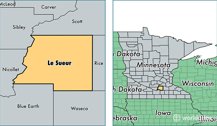
Le Sueur County is a county equivalent area found in Minnesota, USA. The county government of Le Sueur is found in the county seat of Le Center.
With a total 1,227.24 sq. km of land and water area, Le Sueur County, Minnesota is the 2263rd largest county equivalent area in the United States. Home to 27,770 people, Le Sueur County has a total 12412 households earning 58922 on average per year.
Le Sueur County, Minnesota - Quick Facts
| FIPS Code | 27079 |
| Area Codes | 507 |
| Time Zone | CST |
| Major Cities | Le Sueur (population: 5,977), Montgomery (population: 4,468), Le Center (population: 3,863), Waterville (population: 3,020), Cleveland (population: 1,618), Kasota (population: 1,462), Elysian (population: 1,371) |
| Land Area | 10,722 sq miles |
| Water Area | 449 sq miles |
| Household Income | $58,922 |
| Housing Units | 12,412 |
| Median Home Value | $180,100 |
| High School Grads | 90% of population |
| Holders of Bachelors Degrees | 22% of population |
| Retail Spending | $7,359 per capita |
| Food & Accomodation Sales | $17,014 per capita |
This page was last updated on June 30, 2016.