Where is Koochiching County, Minnesota?
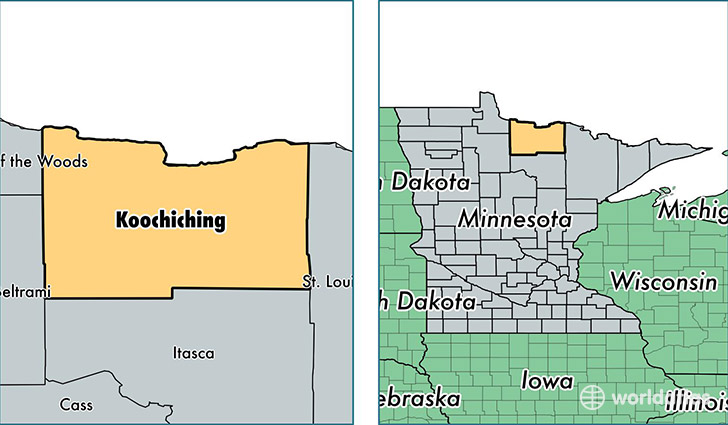
Koochiching County is a county equivalent area found in Minnesota, USA. The county government of Koochiching is found in the county seat of International Falls.
With a total 8,168.79 sq. km of land and water area, Koochiching County, Minnesota is the 176th largest county equivalent area in the United States. Home to 12,856 people, Koochiching County has a total 7838 households earning 41108 on average per year.
Koochiching County, Minnesota offers the following attraction to visitors: Voyageurs NP
Koochiching County, Minnesota - Quick Facts
| FIPS Code | 27071 |
| Area Codes | 218 |
| Time Zone | CST |
| Major Cities | International Falls (population: 9,855), Littlefork (population: 1,325), Kabetogama (population: 373), Big Falls (population: 306), Mizpah (population: 238), Birchdale (population: 195), Loman (population: 151), Ranier (population: 134), Margie (population: 5) |
| Land Area | 4,964 sq miles |
| Water Area | 3,104 sq miles |
| Household Income | $41,108 |
| Housing Units | 7,838 |
| Median Home Value | $101,200 |
| High School Grads | 89% of population |
| Holders of Bachelors Degrees | 17% of population |
| Retail Spending | $12,325 per capita |
| Food & Accomodation Sales | $21,260 per capita |
This page was last updated on June 30, 2016.