Where is Hubbard County, Minnesota?
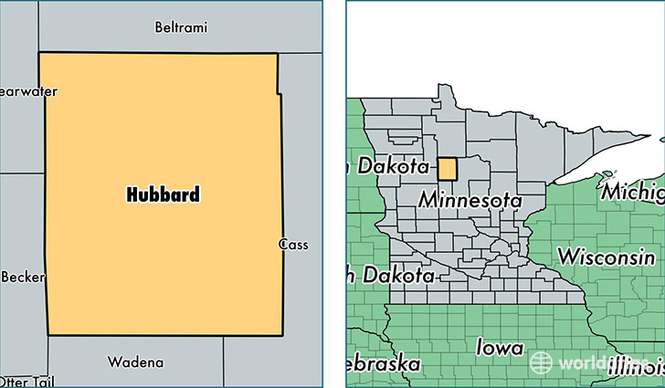
Hubbard County is a county equivalent area found in Minnesota, USA. The county government of Hubbard is found in the county seat of Park Rapids.
With a total 2,588.82 sq. km of land and water area, Hubbard County, Minnesota is the 771st largest county equivalent area in the United States. Home to 20,573 people, Hubbard County has a total 14520 households earning 45961 on average per year.
Hubbard County, Minnesota - Quick Facts
| FIPS Code | 27057 |
| Area Codes | 218 |
| Time Zone | CST |
| Major Cities | Park Rapids (population: 10,308), Laporte (population: 3,227), Nevis (population: 2,402), Akeley (population: 1,831), Solway (population: 1,337), Lake George (population: 355), Benedict (population: 66) |
| Land Area | 7,943 sq miles |
| Water Area | 926 sq miles |
| Household Income | $45,961 |
| Housing Units | 14,520 |
| Median Home Value | $170,400 |
| High School Grads | 92% of population |
| Holders of Bachelors Degrees | 24% of population |
| Retail Spending | $10,722 per capita |
| Food & Accomodation Sales | $20,637 per capita |
This page was last updated on June 30, 2016.