Where is Chippewa County, Minnesota?
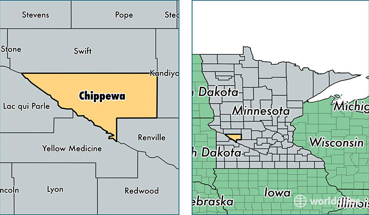
Chippewa County is a county equivalent area found in Minnesota, USA. The county government of Chippewa is found in the county seat of Montevideo.
With a total 1,522.33 sq. km of land and water area, Chippewa County, Minnesota is the 1789th largest county equivalent area in the United States. Home to 12,110 people, Chippewa County has a total 5690 households earning 49434 on average per year.
Chippewa County, Minnesota - Quick Facts
| FIPS Code | 27023 |
| Area Codes | 320 |
| Time Zone | CST |
| Major Cities | Montevideo (population: 7,567), Clara City (population: 1,935), Maynard (population: 906), Milan (population: 706), Watson (population: 302) |
| Land Area | 4,676 sq miles |
| Water Area | 581 sq miles |
| Household Income | $49,434 |
| Housing Units | 5,690 |
| Median Home Value | $101,100 |
| High School Grads | 88% of population |
| Holders of Bachelors Degrees | 17% of population |
| Retail Spending | $13,563 per capita |
| Food & Accomodation Sales | $11,559 per capita |
This page was last updated on June 30, 2016.