Where is Carlton County, Minnesota?
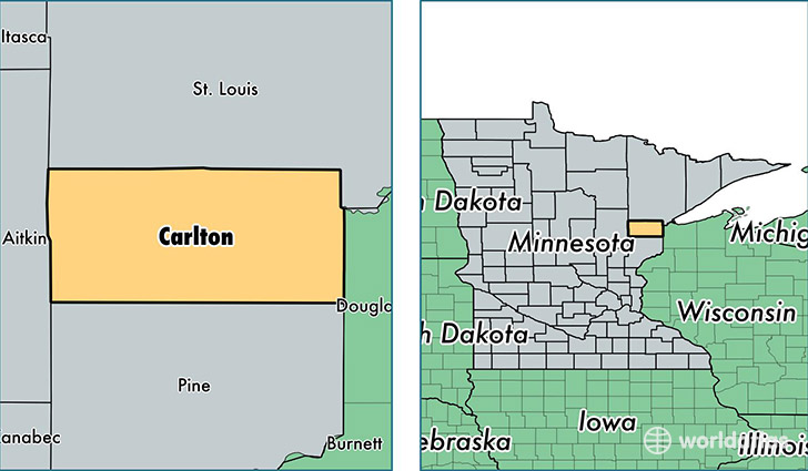
Carlton County is a county equivalent area found in Minnesota, USA. The county government of Carlton is found in the county seat of Carlton.
With a total 2,266.97 sq. km of land and water area, Carlton County, Minnesota is the 1030th largest county equivalent area in the United States. Home to 35,571 people, Carlton County has a total 15687 households earning 53016 on average per year.
Carlton County, Minnesota - Quick Facts
| FIPS Code | 27017 |
| Area Codes | 218 |
| Time Zone | CST |
| Major Cities | Cloquet (population: 16,983), Esko (population: 4,611), Moose Lake (population: 4,522), Barnum (population: 3,436), Carlton (population: 3,277), Wrenshall (population: 1,439), Cromwell (population: 1,043), Kettle River (population: 865), Wright (population: 580), Holyoke (population: 446) |
| Land Area | 13,734 sq miles |
| Water Area | 861 sq miles |
| Household Income | $53,016 |
| Housing Units | 15,687 |
| Median Home Value | $159,000 |
| High School Grads | 92% of population |
| Holders of Bachelors Degrees | 21% of population |
| Retail Spending | $10,620 per capita |
| Food & Accomodation Sales | $32,568 per capita |
This page was last updated on June 30, 2016.